Island in Focus – South Ronaldsay
It seems odd to feature South Ronaldsay as an island in focus, given that it has been joined to the Orkney Mainland by the Churchill Barriers since 1944. However South Ronaldsay is quite unique and still retains a distinctive island charm.
“We went one afternoon to the modest summit of the Ward Hill in South Ronaldsay; the whole island, from the wreck of the Irene to the kirk that keeps the stone with St Magnus’s footprints in it, lay under us.
George Mackay Brown, Under Brinkies Brae
Herston, on the south shore of Widewall Bay, is a lovely hamlet.”
It has many beautiful beaches, cliffs and bays ideal for seal spotting, fascinating archaeological sites to explore and in August, unique events. St Margaret’s Hope is the main settlement, but we would also recommend a visit to the lovely village of Herston. South Ronaldsay is the fourth largest Orkney island (after the Mainland, Hoy and Sanday).
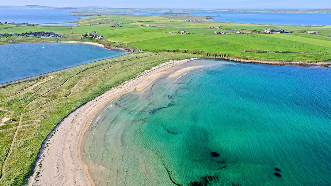
The Churchill Barriers link together several neighbouring islands to the Orkney Mainland. The A961 road runs over the top of these concrete causeways. Before the Barriers were built, blockships were sunk in the waters surrounding these islands as a wartime defence, and these are still a dramatic sight to see.
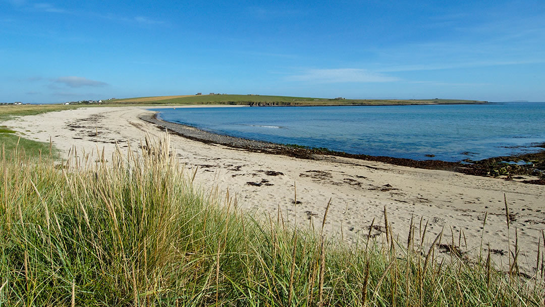
Where South Ronaldsay is joined to Burray, a vast quantity of sand has built up at the Ayre of Cara, forming a stunning beach on the east side of the fourth barrier. For those who travel with Pentland Ferries, the attractive green landscape of South Ronaldsay is the first glimpse they will see of Orkney.
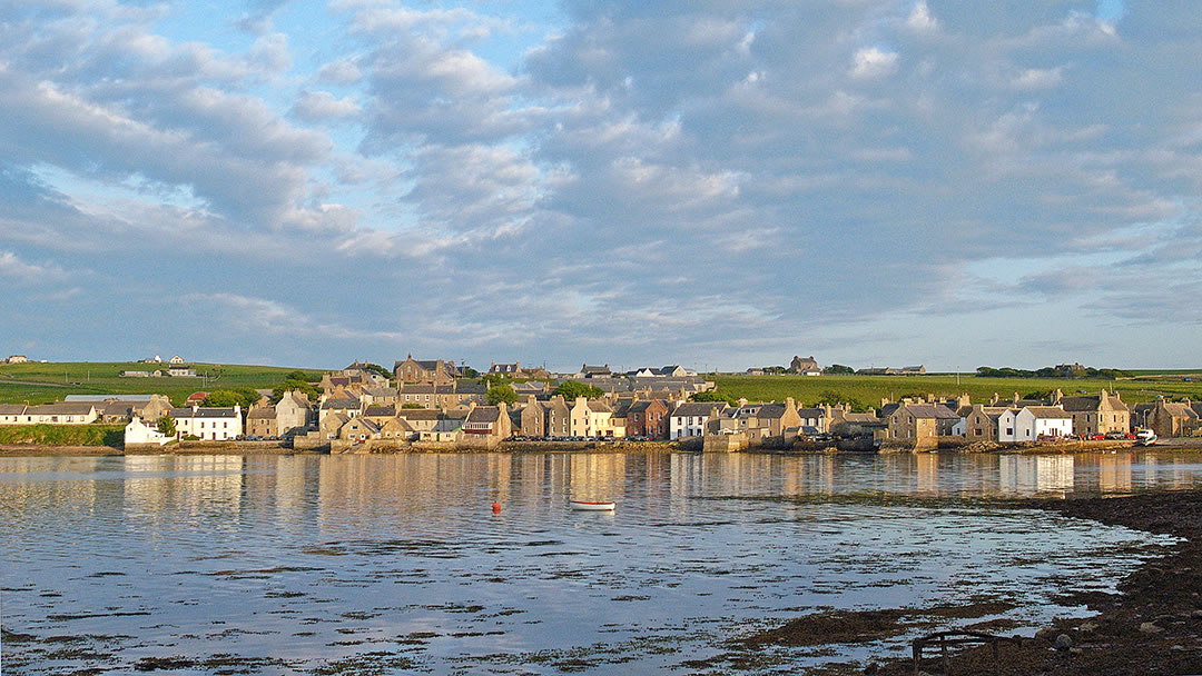
St Margaret’s Hope
The village of St Margaret’s Hope looks remarkably similar to Stromness, with 17th and 18th century houses built around the waterfront, gable-end first, and a winding main street which, at two points, descends down a steep hill. It is the third largest settlement in Orkney and is located next to a sheltered bay on the northern coast of the island.
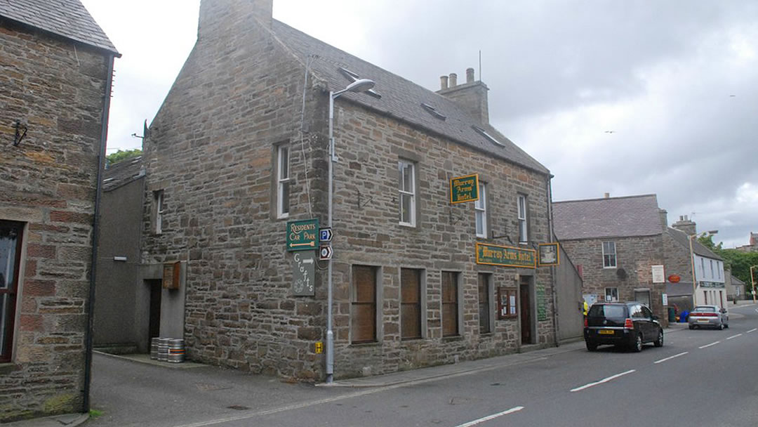
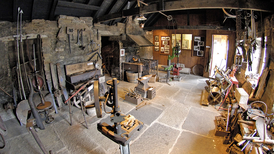
There are welcoming galleries to visit here, a great playpark, and some super hotels, pubs, restaurants and cafes. St Margaret’s Hope has a superb community garden at the Marengo Centre, a bowling green and a 9-hole golf course. There are a handful of craft shops and grocers to visit and a small blacksmith’s museum. Cromarty Square in the centre of the village provides ample parking, and there is also a car park further up Church Road.
St Margaret’s Hope was once called Rognvaldsvoe and it is now known locally as ‘The Hope’ or ‘The Hup’. The village is named after an ancient chapel, but there is some confusion as to whom the chapel is dedicated to.
Some think it was named after Margaret, the 7-year-old Maid of Norway, who, on a sea voyage in 1290 from Bergen to Leith to be married, became ill and died in Orkney. Her marriage to Edward II would have made her Queen of Scotland and England. Though she was regarded as a saint in Norway she was never officially recognized as one. Others believe the chapel and village is named after the wife of Malcolm III of Scotland, who died in 1093 and became St Margaret in 1250. Hope comes from the Old Norse ‘hjop’ which means shallow bay.
Horses and Ploughmen
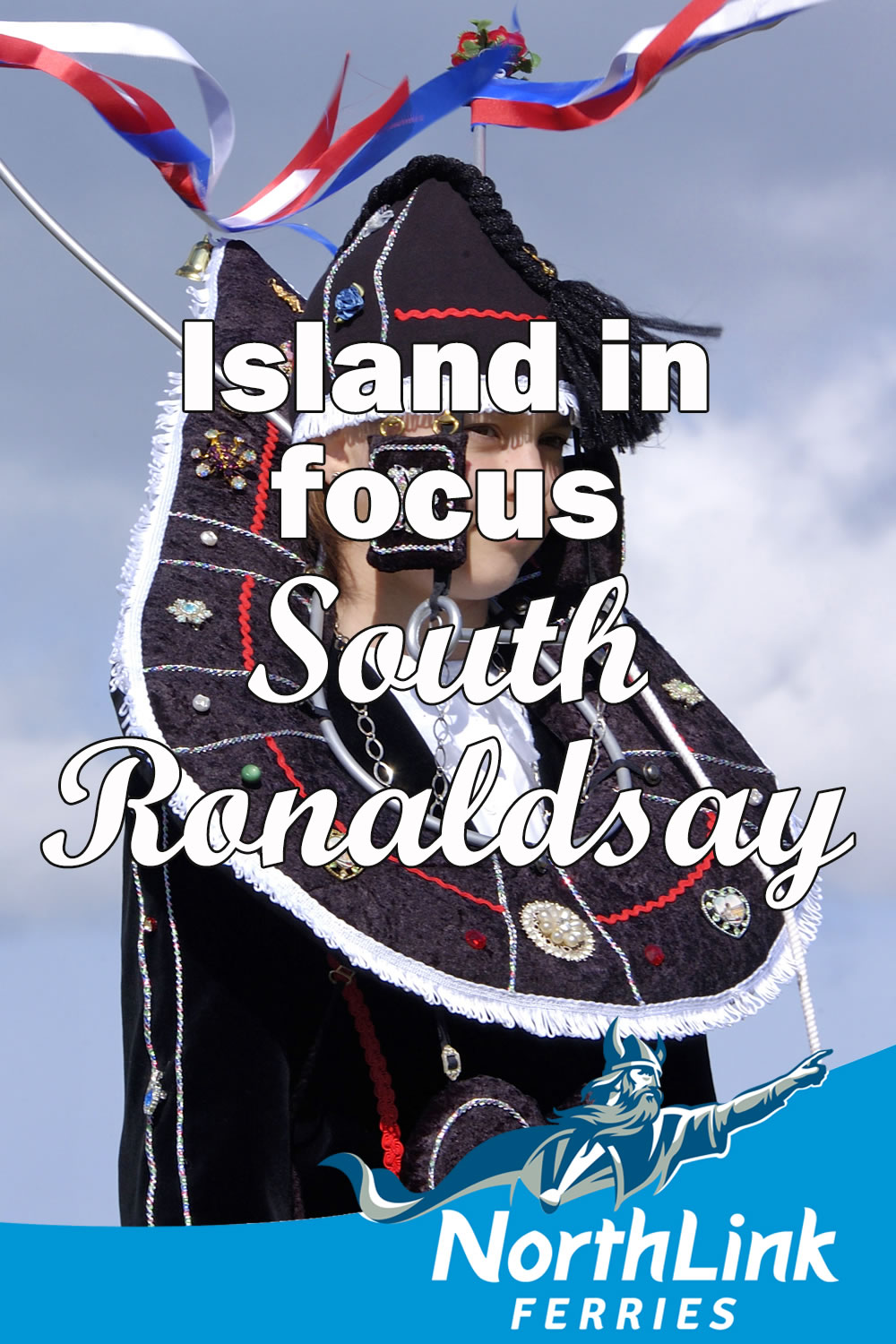
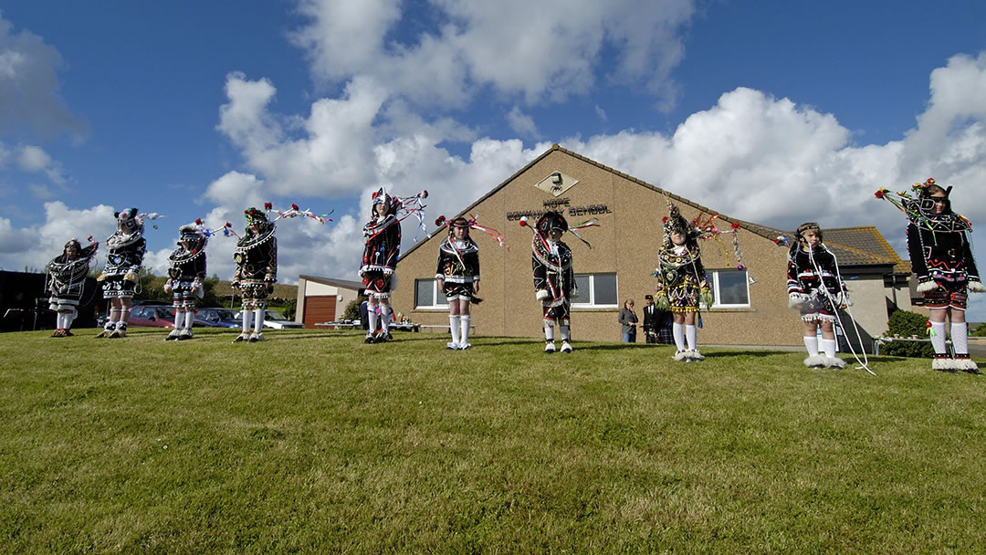
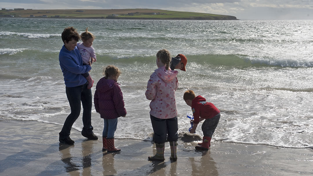
St Margaret’s Hope is the venue for one of Orkney’s most unique occasions. The Festival of the Horse and The Boys Ploughing Match takes in the middle of August each year. This traditional event dates back to the 1800s and begins at the St Margaret’s Hope School where a parade of horses and ploughmen are judged.
Young lasses don traditional ‘horse’ costumes which have been passed down through the generations of local families. These colourful displays are quite a sight to see!
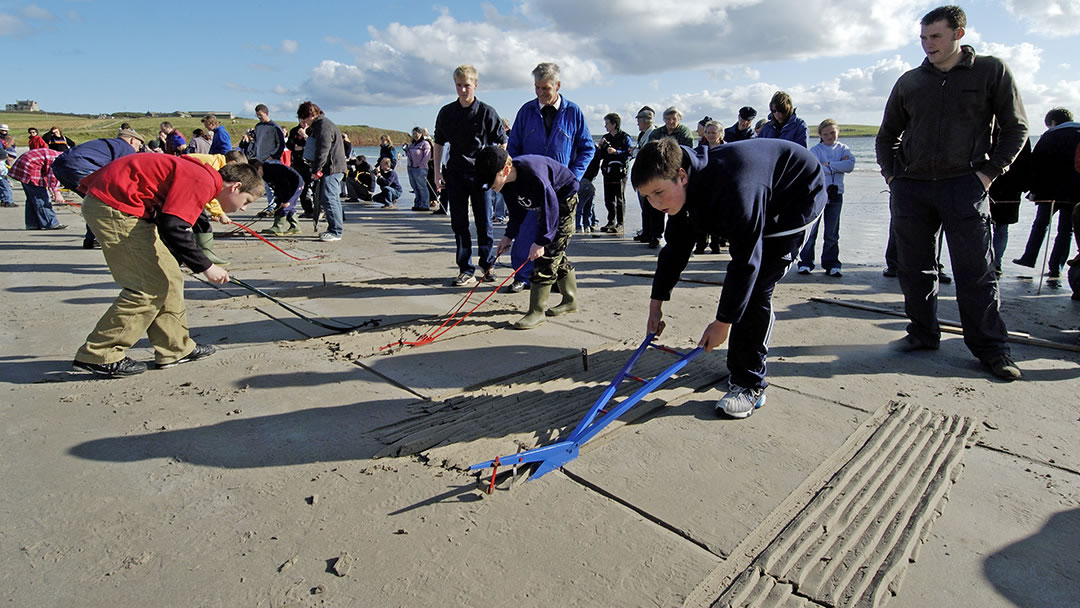
Then the competition moves to the beach at the Sands O’ Wright, where the young lads must use vintage miniature ploughs to carve a straight furrow by hand into the wet sand. Similar events took place on other Orkney islands, but only the South Ronaldsay event remains, though it has moved from spring to summer for better weather and to suit visitors.
Dramatic places at Hoxa
A couple of miles to the west of St Margaret’s Hope there is much to see. We mentioned the pretty sandy beach at the Sands O’ Wright, and there is a scenic coastal walk here to recommend. Nearby at the Howe of Hoxa, a mound of grass is all that remains of an Iron Age Broch (where the Orkneyinga Saga tells us that Earl Throfinn the Skullspitter was buried in 963AD).
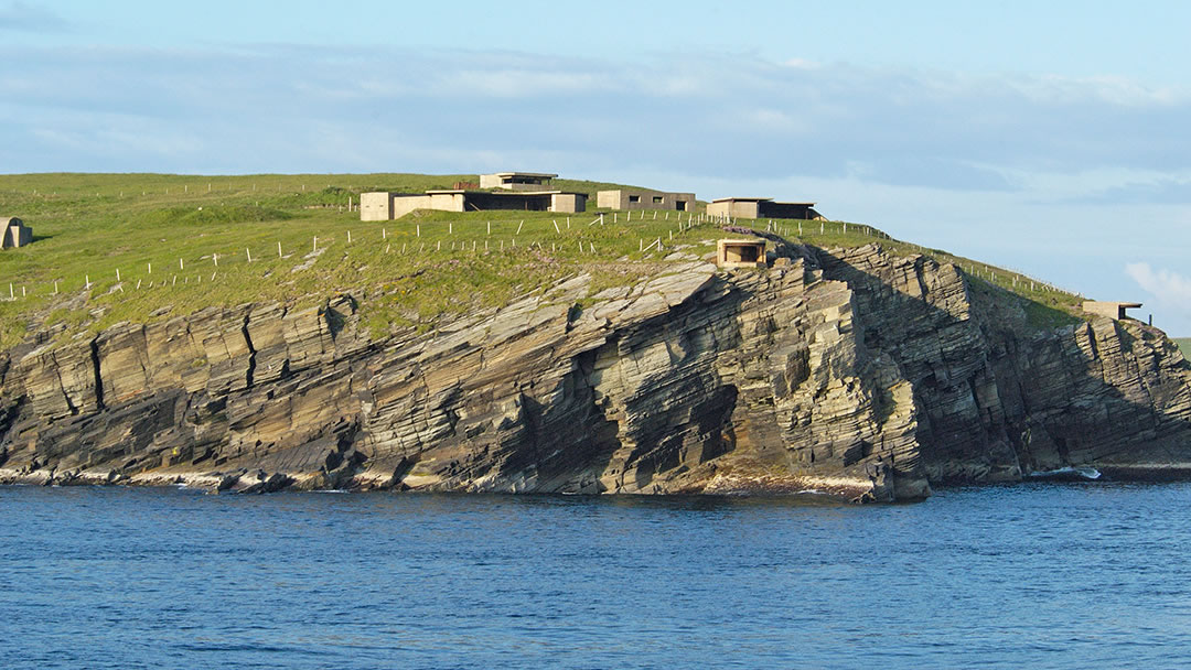
A bit further on, at Hoxa Head, there are spectacular panoramic views of the Pentland Firth and Scapa Flow. The area is also notable for fishing in the strong tide that runs past here, and for an impressive wartime battery emplacement which guarded the entrance to Scapa Flow. Whilst visiting, a call in at the Hoxa Tapestry Gallery is also well worth your time.
Peaceful Herston village
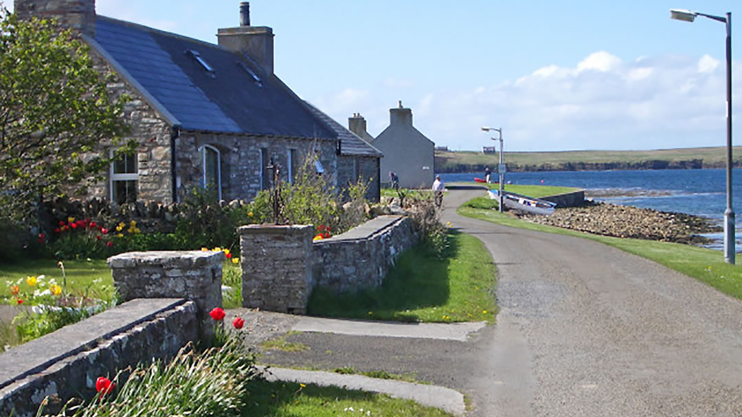
Also on the west side of South Ronaldsay, further south and sheltered on the shore of Widewall Bay, Herston is a peaceful and picturesque village which was built for the herring fishing in 1830. There is a building here which was once a hostel and is now quite overgrown with ivy.
On the road to Herston there is a shallow bay, known as the Oyce of Herston, which is ideal for observing wading birds and wildfowl.
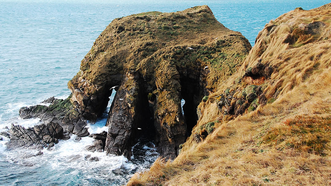
One the western coast near the village there is some spectacular scenery. Harrabrough Head and the impressive rock formation with four feet, known as ‘the Alter’ are particularly worth seeking out, especially for those on the lookout for puffins. We think the Alter looks a little like a lion’s paw. However, we would strongly advise adventurers to exercise caution on the cliff’s edge.
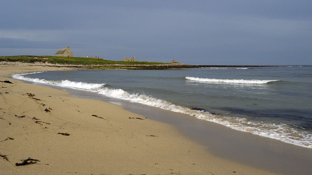
South Ronaldsay Standing Stones
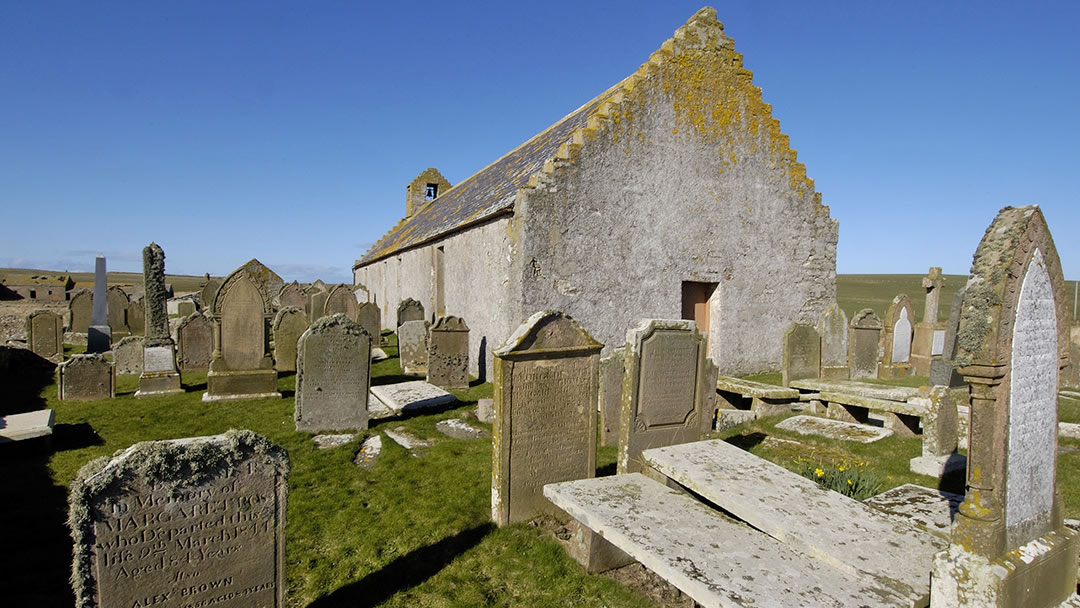
In the Eastside of South Ronaldsay, St Peter’s Kirk is unique in that the pews run the length of building and the pulpit is on the east wall. This was formerly quite common. There is a lovely seaside cemetery here on the shore of the Pool of Cletts and a walk further to Newark Bay is recommended when the weather is fine.
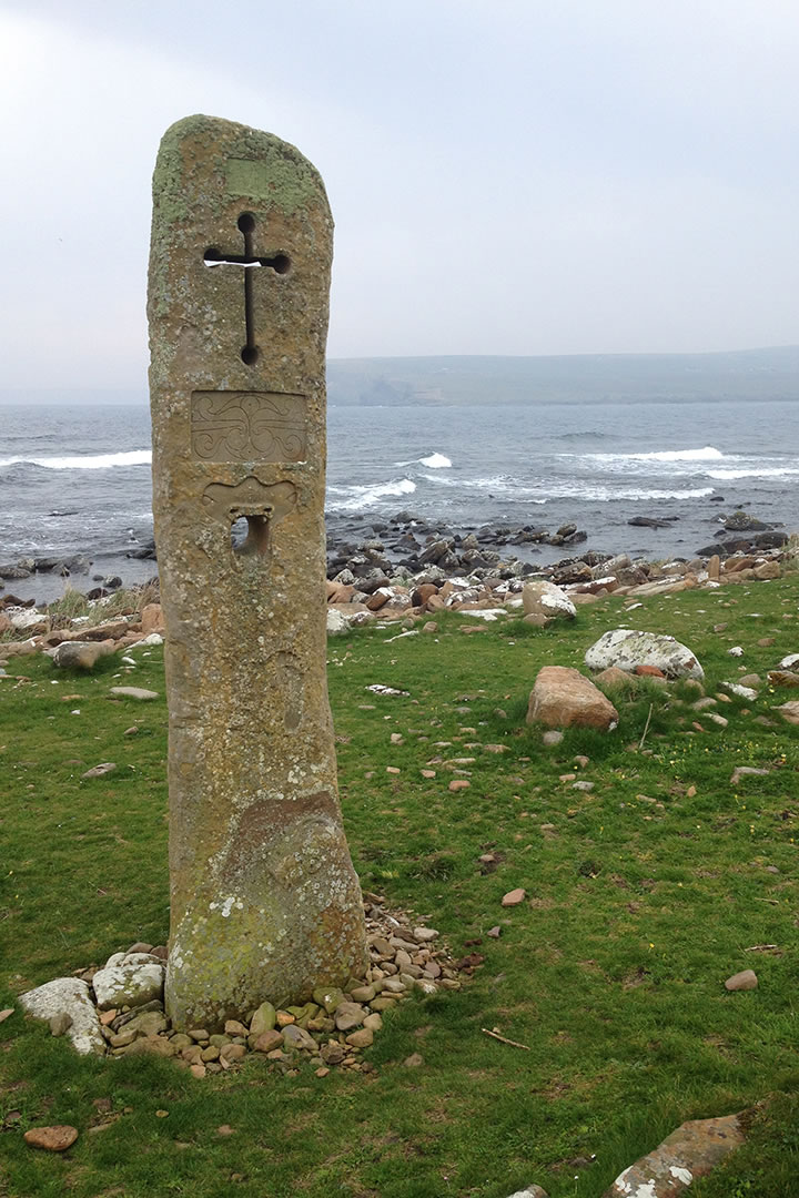
Above the shore is a modern standing stone built to celebrate the Millennium. Created by local man Willie Budge, it features carved Pictish symbols, a Viking longship, a dragon head, and a central hole similar to the one found in the Odin Stone (which once stood in Stenness and was used for binding promises, business deals and lover’s oaths!)
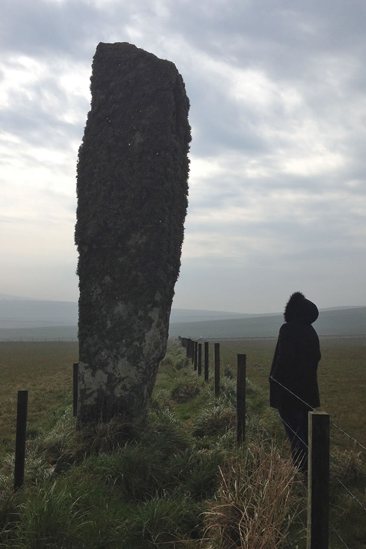
Further up the hill from the kirk stands an impressive 5,000-year-old stone, but no one knows why this one was erected. This sturdy stone is thickly covered with lichen and is called the Sorquoy Stone. It is one of Orkney’s tallest standing stones, towering over visitors at over 4m high.
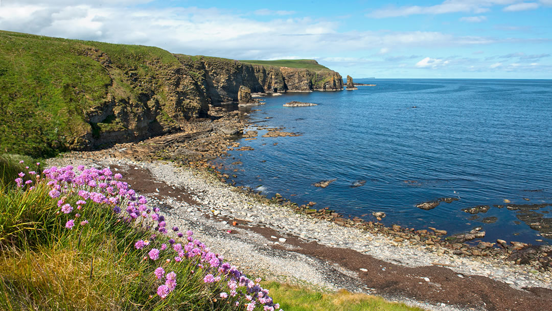
The road to Windwick Bay and Hesta Head
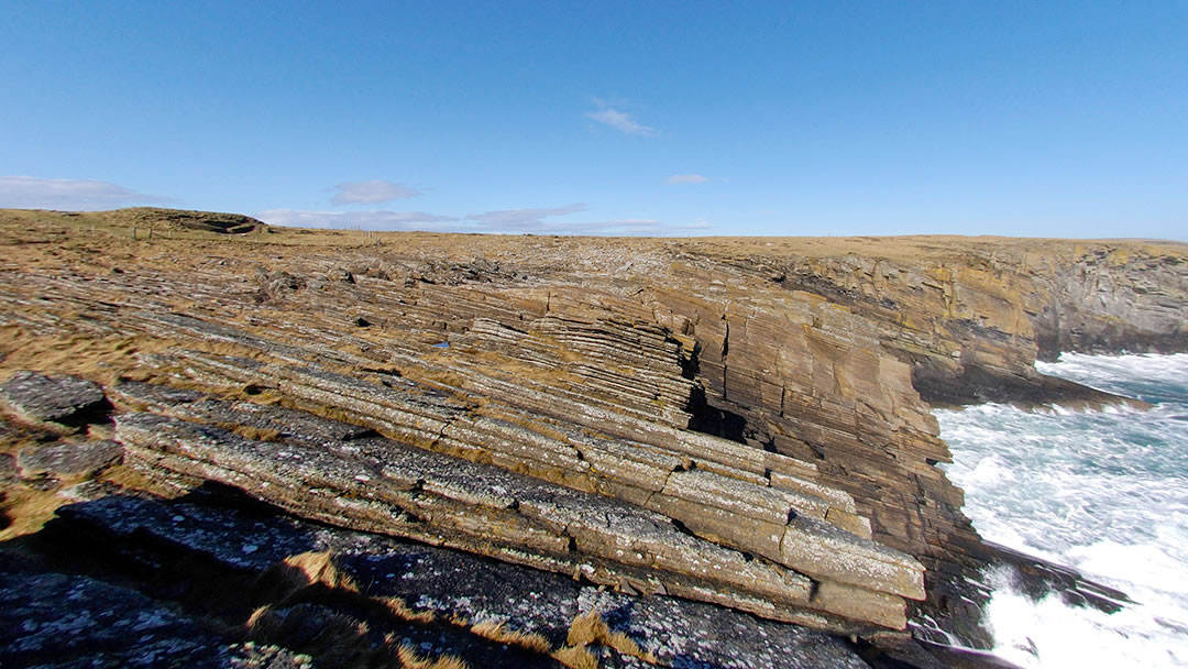
Six miles south of St Margaret’s Hope, the cliff scenery at Windwick Bay is quite spectacular. Visitors can either descend down to a rocky shore or take a cliff top path leading to two sea stacks. The smallest and closest stack is called The Clett, and the furthest away stack is called the Clett of Crura.
Further on, the 90m tall cliff at Hesta Head are quite dramatic and all the more so when you consider the following story. On 12 January 1918, the Destroyers HMS Opal and HMS Narborough were returning to Scapa Flow at night. However during a blizzard, both ships ran into these cliffs at full steam and broke up. There was only one survivor out of 189.
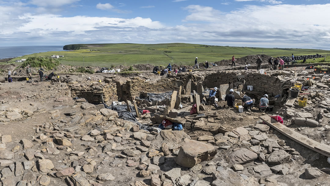
Windwick can also be a popular spot for seals, there is a ruined chapel dedicated to St Andrew, and a fascinating dig nearby which takes place during the summer months, excavating a massive Iron Age broch, called The Cairns.
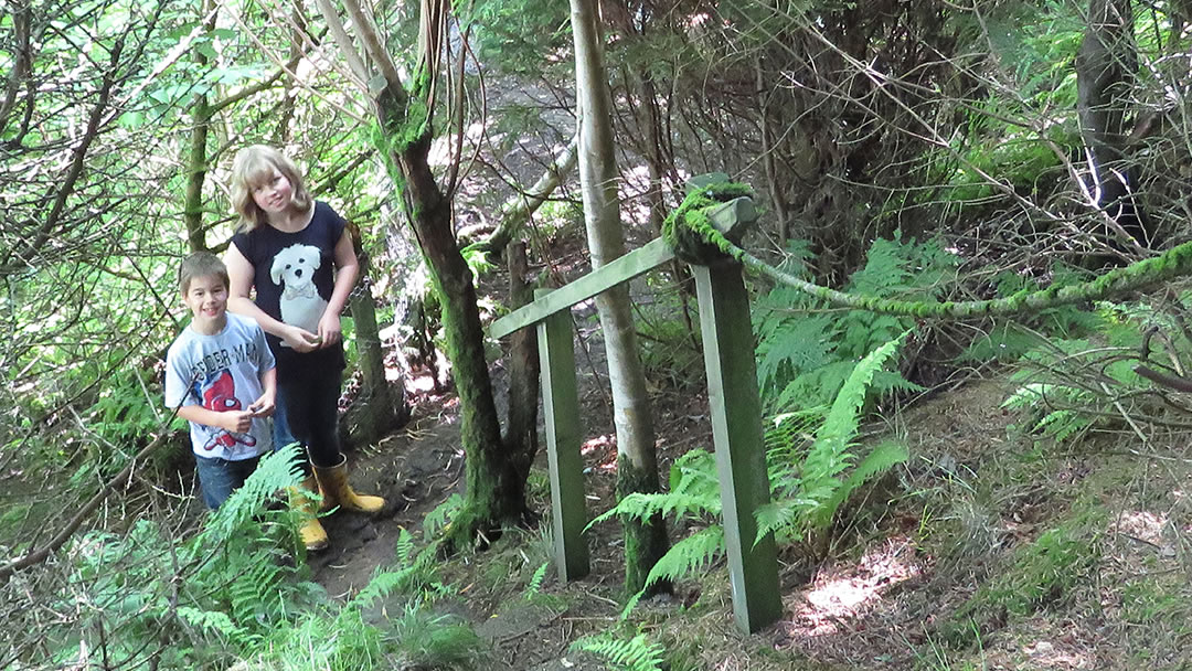
On the road to Windwick there is a man-made woodland called Olav’s Wood which is quite magical! It was planted around a burn in the 1970s by Helen and Stephen Manson and Olav Dennison, and there are trails to explore, named after all the hard workers who have maintained it in the years since.
Intriguing Neolithic sites
In the south end of the island there are two Neolithic tombs to explore.
Please note: The Tomb of the Eagles closed in 2021.
In the Tomb of the Eagles, 30 human skulls and the talons of 70 sea eagles were found (with the flickering light of a cigarette lighter) by a local farmer in 1958. Ronnie Simison was looking for a solid stone to use as a strainer post (a corner fence post) when he found the cliffside tomb, which was built in 3150 BC and in use for 800 years.
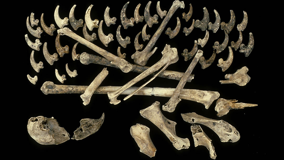
The 16,000 human bones here belonged to at least 341 people (185 adults, 62 teenagers, 70 children, and 24 babies). However only 5% of the bones were from adults aged over 40. There were also rocks discovered from far afield (the Moray Coast or Brora would be the nearest sources). Were sea eagles a symbol for the group, in the way that dogs may have been for the people in Finstown’s Cuween Cairn? The low-entranced Tomb of the Eagles is now entered by visitors via a skateboard-like trolley!
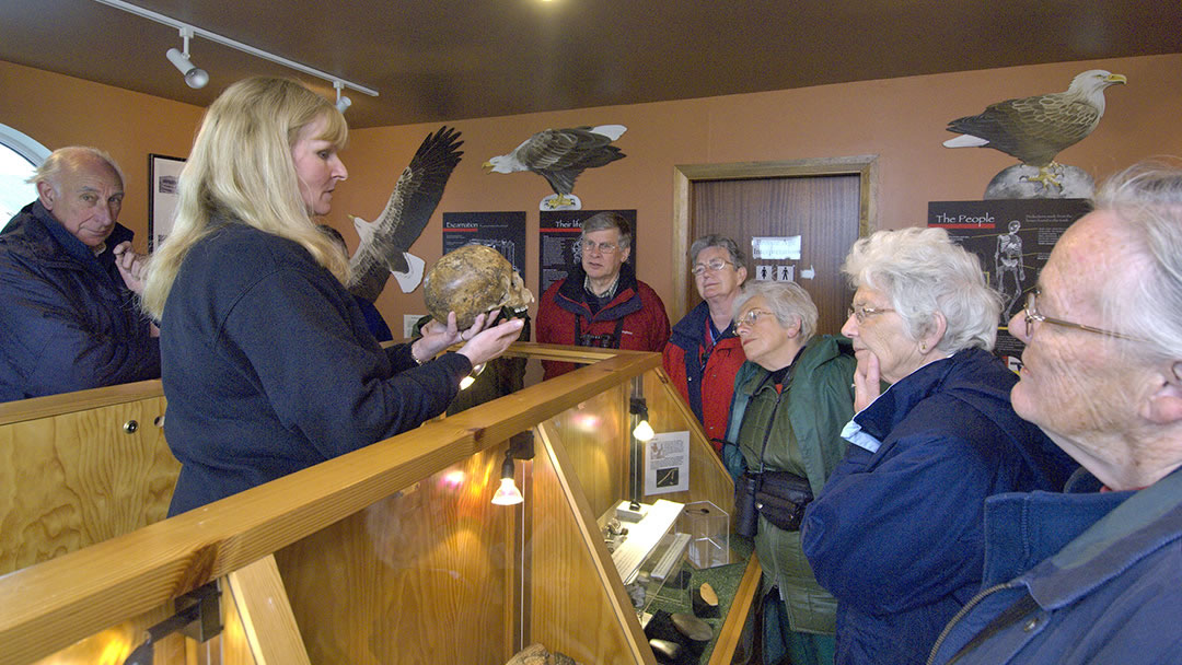
The Tomb of the Eagles has a super visitor’s centre run by Ronnie Simison’s family, from which the Tomb is a mile walk, with Liddle Burnt Mound almost halfway.
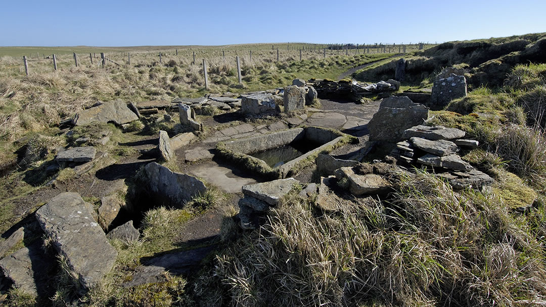
Liddle Burnt Mound is an oval building with a big hearth and large central water trough. It was enclosed by cracked fired stones and ash and used in the Bronze Age.
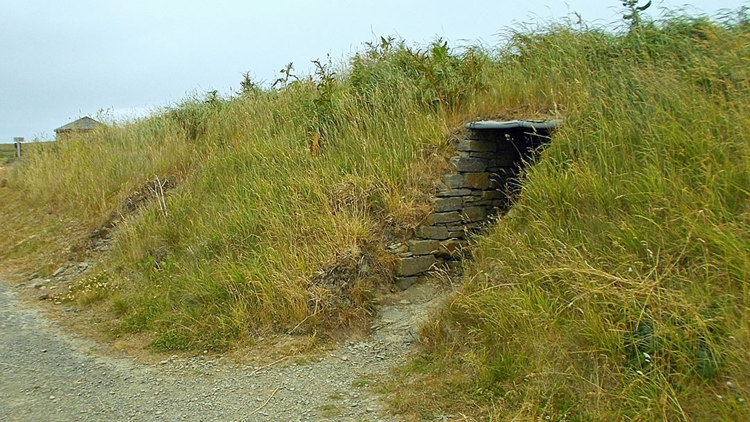
Banks Chambered Tomb (which is also called the Tomb of the Otters) is a six chambered Neolithic tomb and inside were discovered 2,000 human bones. However, between the human remains were layers of otter spraint and bones. From this we can assume that the tomb was open and that otters used it as a holt. This is a fascinating place and a very recent discovery.
Other South Ronaldsay places to see!
There are many other interesting places to go in South Ronaldsay. At Olad Brae there are panoramic views of the Pentland firth, Mainland Scotland and Orkney islands. The name Olad comes from the Old Norse for ‘flat ground beside a burn’. Super views can also be had from nearby Ward Hill.
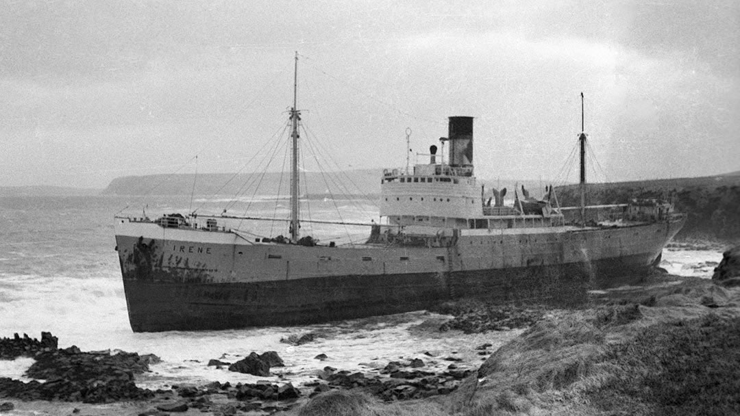
At Grimness not much remains now on the beach of the wreck of the ‘Irene’ (pictured above). Answering this ship’s distress calls on 17th March 1969, the Longhope Lifeboat T.G.B. capsized with a loss of all hands. A memorial to the Longhope Lifeboat disaster can be found on the island of Hoy.
Tomison’s Academy is a disused school built using money left by William Tomison (1739-1829) who made his fortune working for the Hudson’s Bay Company. My grandfather was a teacher there for a time in the 1950s!
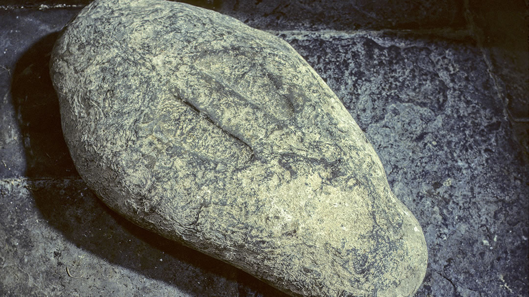
At Burwick, Old St Mary’s Church is one of the earliest chapels in Scotland. The old tombstones are fascinating to see as is the Lady Kirk stone which has footprints carved into it. Are these the footprints of St Magnus? We’ll leave it up to you to decide!
Prose reproduced by permission of the Estate of George Mackay Brown.
 By Magnus Dixon
Orkney and Shetland enthusiast, family man, loves walks, likes animals, terrible at sports, dire taste in music, adores audiobooks and films, eats a little too much for his own good.
Pin it!