Hidden Brochs in Orkney
The Iron Age in Orkney is thought to have started around 800 BC when new, sturdy circular buildings appeared – the roundhouse. Between 300 BC and 200 BC this formula was refined, and even bigger structures were built; these were brochs. The word ‘broch’ comes from the Old Norse ‘Borg’, meaning ‘stronghold’, and these were massive round buildings, sometimes 20m in diameter, with walls which were 5m thick at the base. Brochs could sometimes be very tall (Mousa Broch in Shetland is 14m) with several floors reached by a stairway within the hollow outer wall.
To the south of the Dingieshowe beach car park there is a well-hidden broch which is over 7m in height and 10m in diameter with walls 4m thick. It appears as a grassy conical mound, filled in with sand and hidden among the dunes.
Brochs could sometimes stand in the centre of a community, but often stood alone. They were imposing and impressive buildings, perhaps status symbols for important families of the time.
The most well-known of these buildings in Orkney is the Broch of Gurness in Evie and Midhowe Broch in Rousay. However, there are over 100 other brochs in Orkney, many times hidden in plain view in the landscape. This list of some of them may surprise even Orcadians who are very familiar with the islands!
Please note, many of these brochs may be on private land and should be admired from afar.
Northfield, Burray
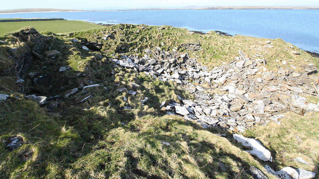
When travelling from the Orkney Mainland, as you cross the third barrier to Burray you will see the tall towers at the WWII Battery at Northfield. Further along this shore you will find two Iron Age brochs, the West Broch and East broch. These days West Broch is a grassy mound, but East Broch (pictured) is much bigger. East Broch lies 15m from the shore but is collapsing inwards and full of debris as a result. It is still very impressive, with 7m high walls and an internal diameter of 13m.
Dingieshowe, Deerness
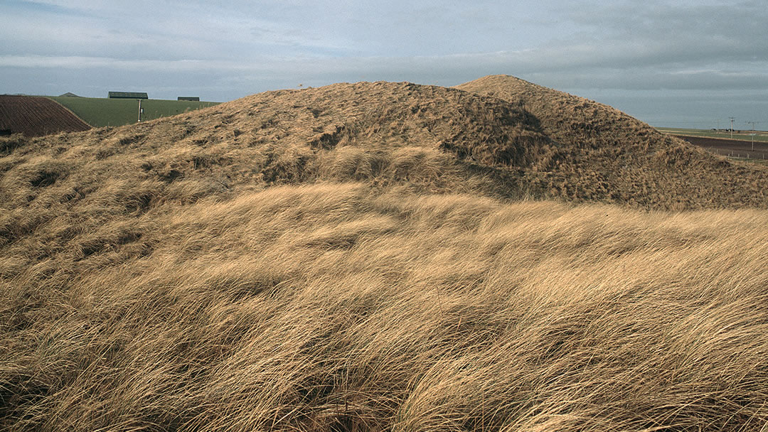
Located around the narrow strip of land that connects Toab to Deerness there are two brochs, Dingieshowe and Eves Howe. To the south of the Dingieshowe beach car park there is a well-hidden broch which is over 7m in height and 10m in diameter with walls 4m thick. It appears as a grassy conical mound, filled in with sand and hidden among the dunes. It is also possible that outbuildings could be hidden under the surrounding sand dunes.
In later years, the area was used as a Norse assembly site, where Tings (meetings where political decisions were made) were held. Therefore, the Old Norse name; Tings Howe, which meant Ting Mound, turned into Dingieshowe.
Eves Howe, Deerness
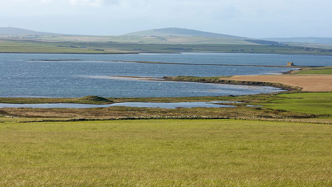
Eves Howe is located at Braebuster in Deerness, low down between the beach and a small shallow loch. The broch itself cannot be entered and all that is visible are the turf-covered remains, around 24m in diameter and 3m in height. The ruined broch was excavated in 1883, but nothing of interest was found. Eve’s loch is a beautiful setting which very popular with migrating waterfowl.
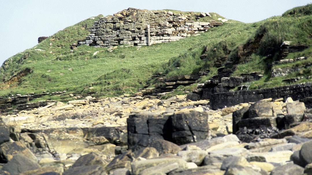
Broch of Burgar, Evie
On the shore below Burgar Hill and the wind turbines located there, is a ruined broch at the Point of Hisber. The Broch of Burgar looks out to Eynhallow on the same coast as Gurness and it was excavated in the 19th century. In places the walls are 4m high and the broch has an internal diameter of 10m. The story goes that a Pictish silver hoard was found by a farmer at the Broch of Burgar. However, he dumped the treasure in the sea so the Crown could not claim it!
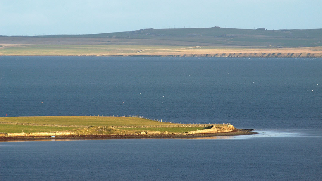
Burness, Firth
Burness is located on a protruding point around Finstown known as the Point of Backaquoy. It can be reached by travelling on the A966 to Rendall for 1½ miles and turning right down the road signposted Burness. The broch was not always known as Burness though; on maps you will see the broch referred to as Chapel Knowe, due to the church built next to it in medieval times. Among the finds at the broch was a carved stone which bears the image of a cloaked figure. This was donated to National Museum of Scotland.
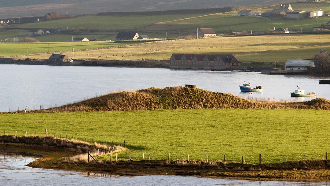
The Hillock Broch, Finstown
The Hillock Broch is hidden within Finstown. To find it, take the A966 from Finstown to Rendall, and the broch can be seen on the right, at the mouth of The Ouse, just before the bridge over to Firth School. It appears as a mound around 4m high, with a concrete pillbox from WWII alongside. Excavation revealed a cell-like structure inside.
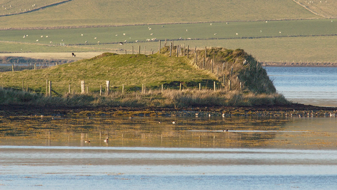
Ingashowe, Firth
The road from Finstown to Kirkwall cleaves close to the shore until a long straight section of the A965 that heads under the dark shape of Wideford Hill. At this point, on your left and 2 miles outside Finstown you’ll see the house of Ingashowe, and behind this is a ruined broch. The broch has suffered due to excavation and by the encroachment of the sea, but it has an internal diameter of 10m, and the walls are 4m thick. Watch out for it on your next trip to or from Kirkwall.
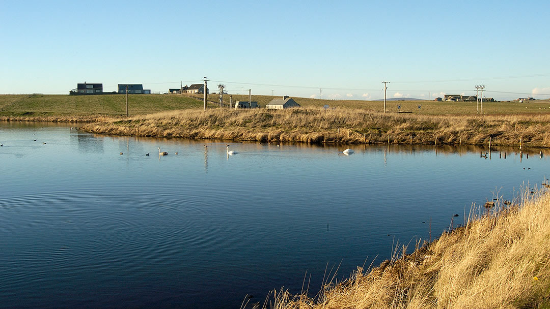
Loch of Ayre, Holm
Next to the first Churchill Barrier is St Mary’s Village, a quiet shoreside hamlet. To the west of the village lies the Loch of Ayre, and it is a fine place to spot waterfowl. The fragmented ruins of an Iron Age broch stand 1m high on the edge of the loch. A beautiful Pictish carved stone was also found at the other side of St Mary’s, at Graemeshall.
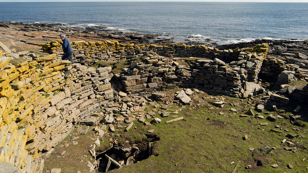
Broch of Burrian, North Ronaldsay
Orkney’s most northerly island boasts an impressive broch. The Broch of Burrian was surrounded by other buildings and is thought to have been inhabited until the 9th century. The walls are 4.5m thick and the internal diameter 10m. The impressive Burrian cross decorated with Pictish symbols was found here. To visit the broch, head to Strom Ness at the most southerly point of North Ronaldsay. The Broch of Burrian has been incorporated into the island’s sheep dyke; the wall designed to keep the seaweed-eating sheep on the beach.
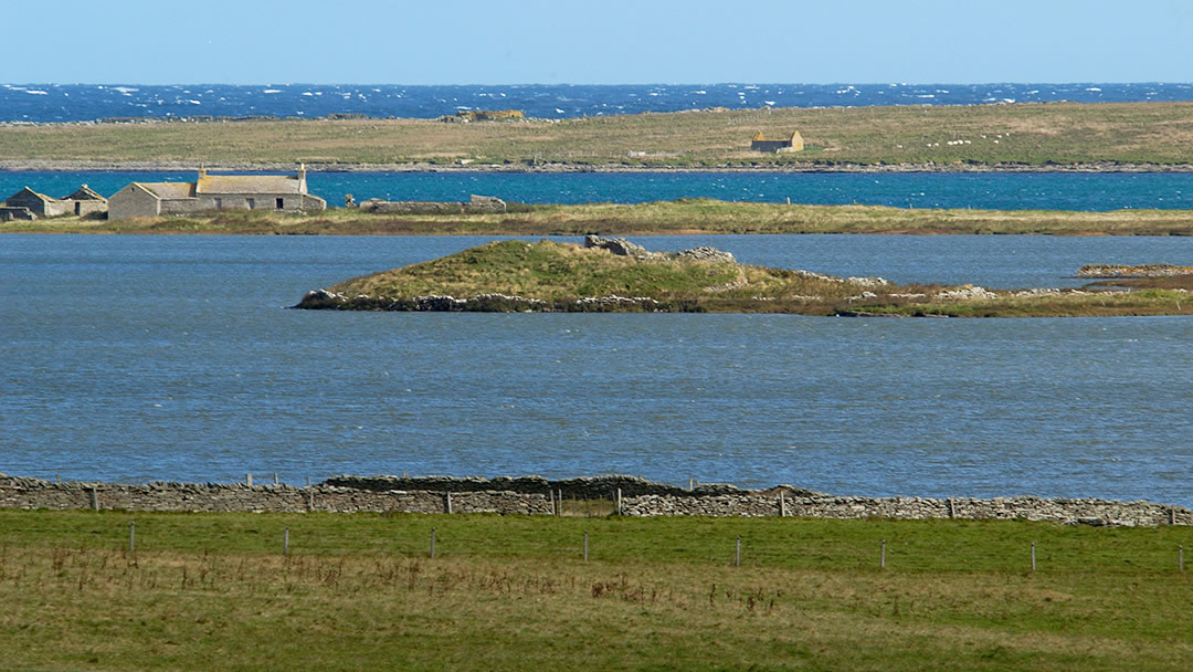
St Treadwell’s Loch, Papa Westray
St Treadwell’s Chapel was built on a small peninsula in the middle of a loch in Papa Westray. It was a popular pilgrimage site dedicated to Saint Triduana, who was a pious but beautiful woman and greatly admired by the King of the Picts. To stop this unwanted attention, she plucked her own eyes out and devoted her life to healing the blind. St Treadwell’s Chapel in Papa Westray was visited by those who had problems with their sight. Less well known however is that the chapel was built directly on top of a broch; and the remains of both can still be seen today.
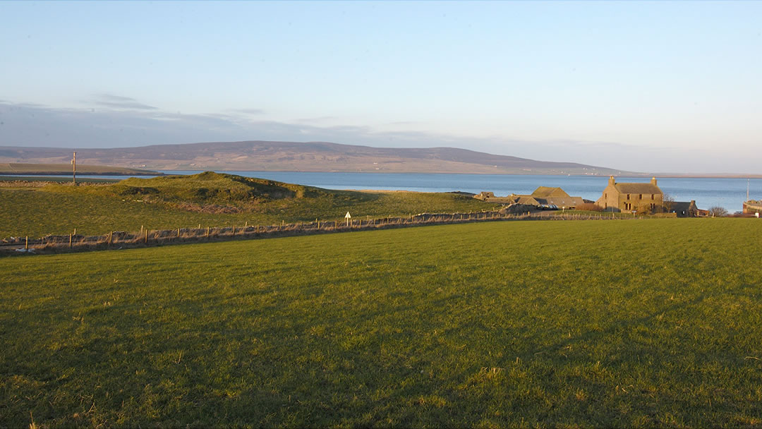
Tingwall, Rendall
For those who travel to Tingwall in Rendall to catch the ferry to Rousay, Egilsay and Wyre, there is a stunning broch hidden in plain view on Gorseness Road, 200m from the ferry terminal. The Tingwall broch is 20m in diameter and around 2m in height. Like Dingieshowe, this is another instance of a broch mound being used for Norse meetings called Tings. The area name comes from the Old Norse description, Ting field.
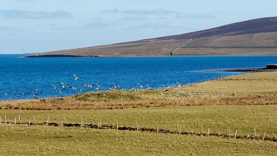
Wass Wick, Rendall
There’s another Iron Age broch site near Tingwall in Rendall if you travel east along Gorseness Road. On the shore at Wass Wick there is a flattened broch looking out onto Gairsey Sound.
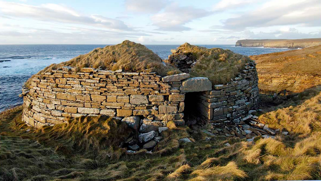
Broch of Borwick, Sandwick
Most visitors to the spectacular cliffs of Yesnaby on Orkney’s west coast head south to visit Yesnaby Castle; a sea stack. However, those who head north towards the Bay of Skaill have a treat in store; the Broch of Borwick. Erosion to the cliff that the broch stands on has caused the seaward wall to collapse. Though it is a small example of an Iron Age building, the internal diameter is only 7m, but we challenge you to find a broch in a more dramatic location!
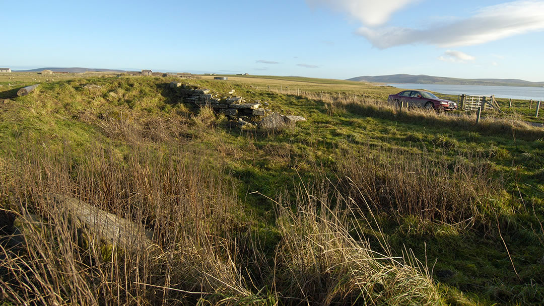
Stackrue, Sandwick
Stackrue is a broch ruin quite literally cut in two by a road! However, the thick walls are still very visible and chapel and graveyard which were built alongside can also be seen. It has an internal diameter of 9m and a wall thickness of at least 4m. The road in question is the Lyking Road, which runs parallel to the Loch of Stenness and links the A967 to the B9055 (the road to Brodgar).
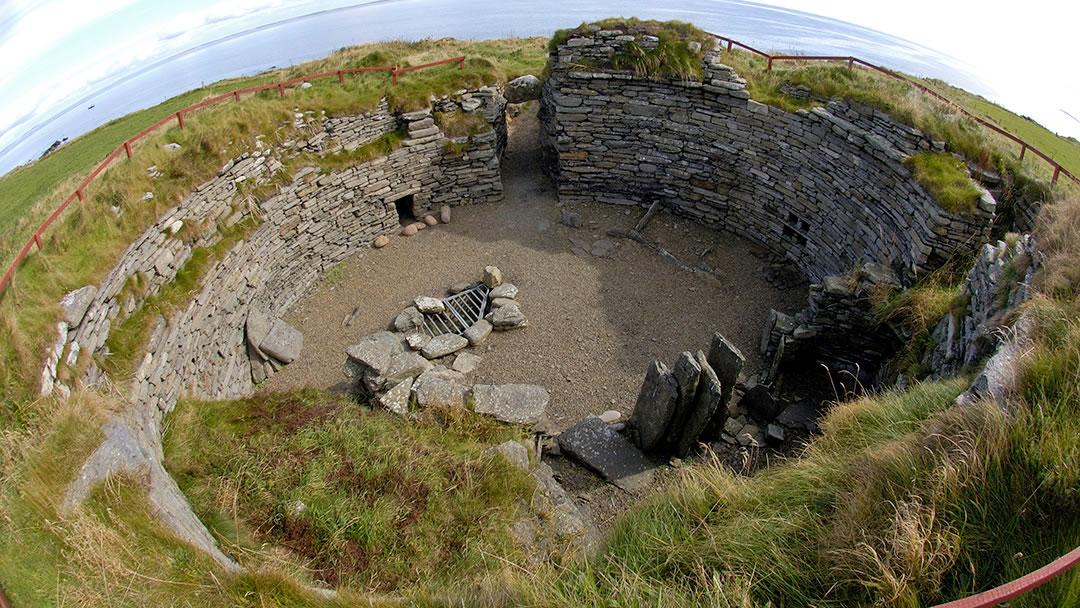
The Broch of Burroughstone, Shapinsay
In the north east of Shapinsay there’s a lovely example of an Iron Age broch, but it was not always that way! The broch fell into ruin after excavation in 1862 but has since been tidied up. Its walls are 3m high and there is a hole and well in the interior floor, like the well at the Broch of Gurness. The shoreside location and surrounding good agricultural land makes it easy to see why this site was chosen for the Broch of Burroughstone.
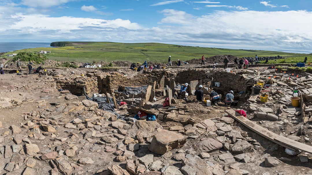
The Cairns, South Ronaldsay
The Cairns is an Iron Age settlement on the hillside overlooking Windwick Bay. It consists of a massive broch surrounded by a village of over 100 people. Archaeologists are still excavating the broch, which has an external diameter of 22m, an internal diameter of 11m, walls 5m thick and evidence of at least 2 upper stories. This makes the broch at the Cairns bigger than both Gurness and Midhowe!
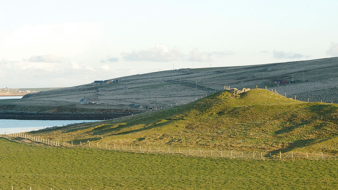
Howe of Hoxa, South Ronaldsay
Hoxa is a hook-shaped peninsula located in the north west of South Ronaldsay. Every August the boys ploughing match takes place here at a sandy bay called the Sands of Wright. 200m north, on the other side of the peninsula, is another beach, named the Dam of Hoxa, and standing in a commanding position above it you will find the Howe of Hoxa, a ruined broch. In the Orkneyinga Saga it was written that Earl Thorfinn Skullsplitter was buried here in 963 AD.
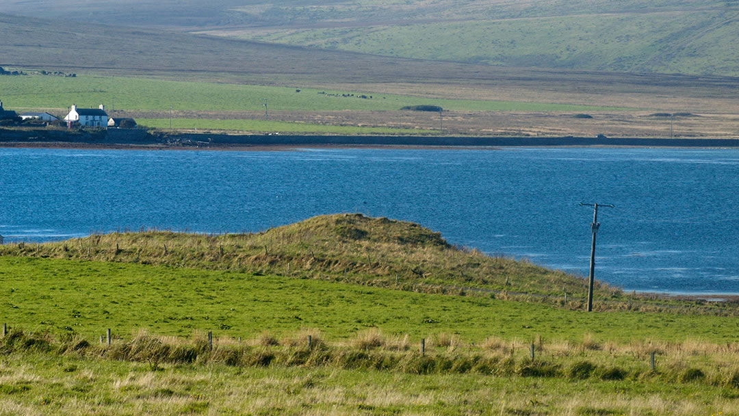
Green Hill Broch, South Walls
The area around Longhope and Cantick Head was clearly important in the Iron Age, as there are many small brochs to be found around this area. Green Hill is located on the shore and can be seen as you travel east out of the village. The broch is approximately 2m high and there are traces of outbuildings under the grass on the east and south east.
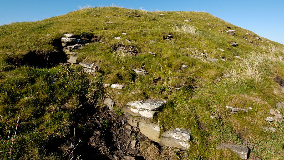
The Green Hill of Hestigeo, South Walls
On the southern shore, close to Osmondwall, the cemetery that contains the Longhope Lifeboat Memorial, and the road to Cantick Head, there’s a large broch (4m high with an overall diameter of about 19m) with surrounding buildings which has been eroded by the sea.
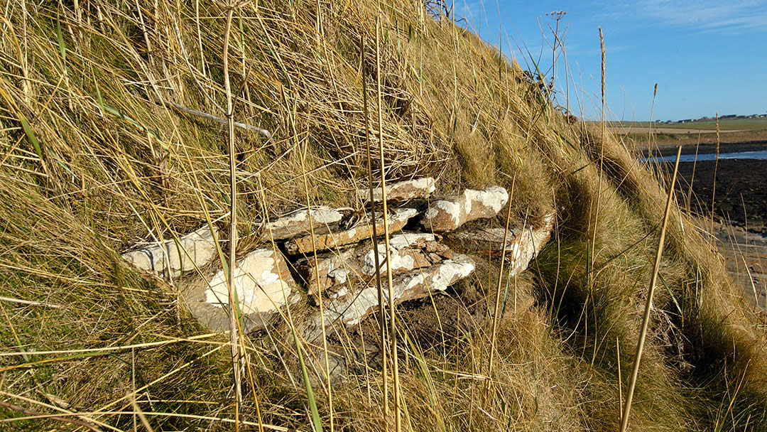
Broch of Breckness, Stromness
A very fine walk to undertake in Orkney is along the west shore in Stromness. The more adventurous can continue up the Black Craig and on to Yesnaby. Early in that journey, before even climbing the Black Craig, you’ll reach Breckness, which is a fine house, now a ruin, which was built in 1633 by Bishop Graham. The name Breckness, in Old Norse, means sea crashing point, and the Broch of Breckness has been almost entirely demolished by the sea. It was once 20m in diameter but is now tricky to make out on the shoreline.
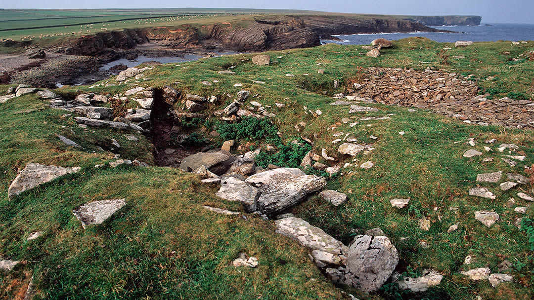
Lamb Head Broch, Stronsay
At the north of Stronsay, next to the Bay of Houseby there is a promontory called Lamb Head which is littered with cairns and also contains a partially excavated broch, 20m in diameter with a wall thickness of almost 5m, it was once possible to explore two side chambers of the broch by descending through holes in the roof.
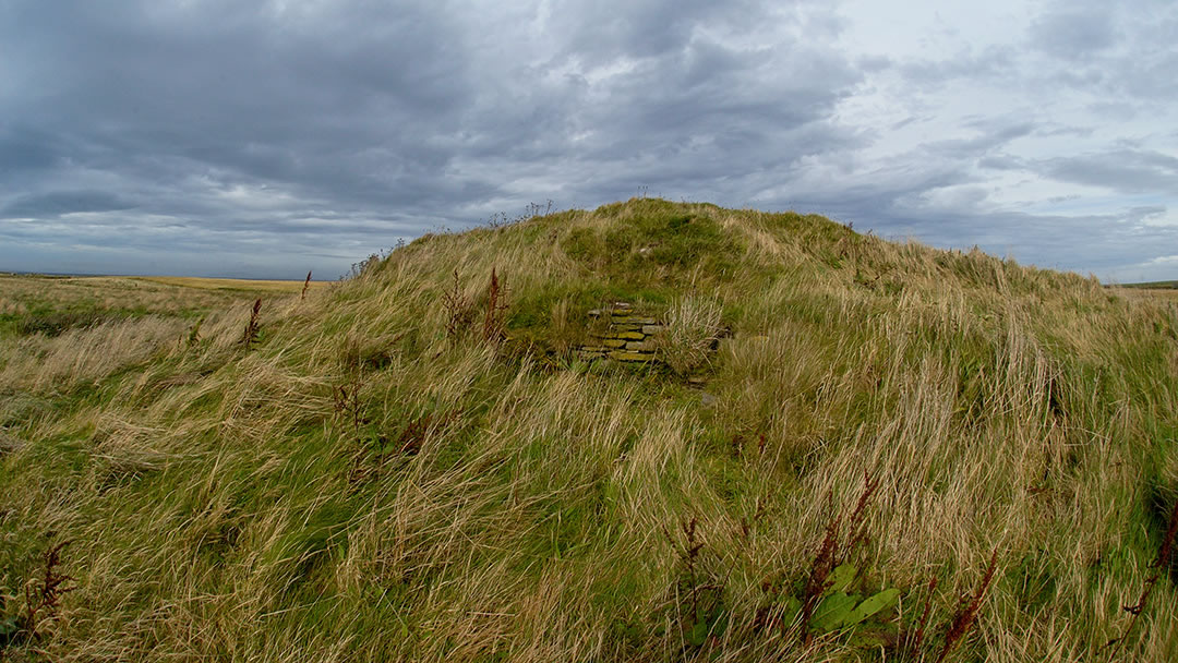
Hillock of Baywest, Stronsay
Close to the Loch of Rothiesholm on the island of Stronsay, there is an Iron Age broch and settlement site. Like the broch in Papa Westray, this green mound stands on an island amidst a marsh, which was possibly a loch at one time. The Hillock of Baywest is 22m in diameter and 3m high.
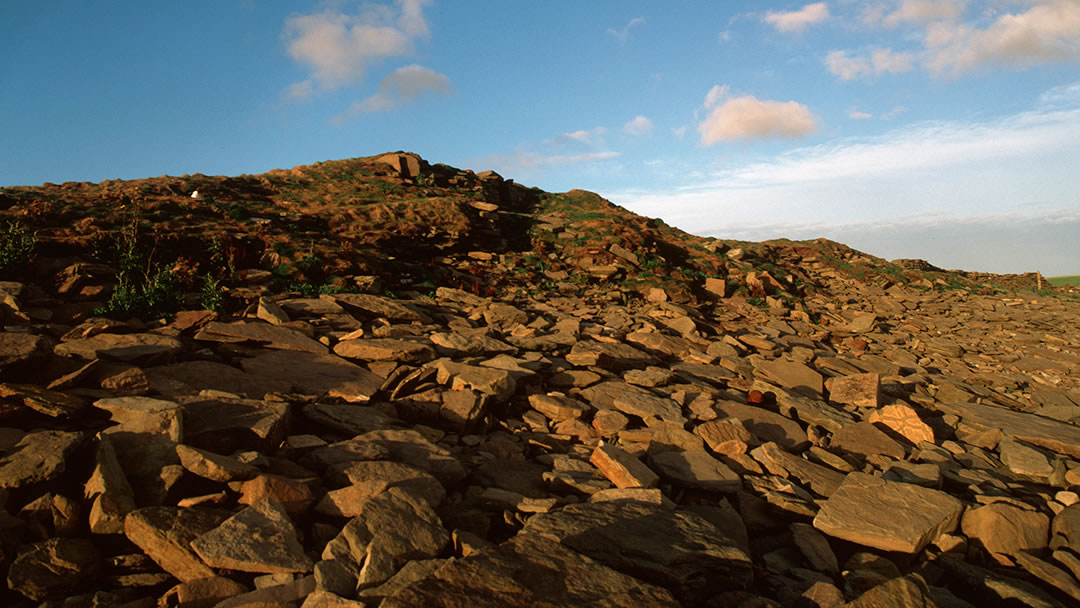
The Knowe o’ Burristae, Westray
There are quite a few brochs on Westray’s shore, and the Knowe o’ Burristae is still impressive despite considerable erosion from the sea. The curved walls are still visible, as are surrounding buildings and the broch has a diameter of 18m. To reach the Knowe o’ Burristae head to the west side of Westray on the shore close by Mae Sand.
Knowe of Skea, Westray
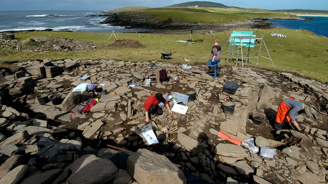
The Knowe of Skea is located on a small tidal island on the tip of Berst Ness near Mae Sand in Westray. It was once interpreted as a broch but it is not. We include the Knowe of Skea here as it offers valuable information about life and death in the Iron Age. This was a rounded building surrounded by other buildings in which hundreds of graves were found during recent archaeological excavations. It is believed that the site and buildings were used as an Iron Age cemetery between 200 BC and 400 AD.
 By Magnus Dixon
Orkney and Shetland enthusiast, family man, loves walks, likes animals, terrible at sports, dire taste in music, adores audiobooks and films, eats a little too much for his own good.
Pin it!