Travelling to Scotland’s easternmost point: Out Skerries
Shetland is home to two of Scotland’s most geographic extremes: its northernmost and easternmost points. Last year, I visited Unst, the northernmost inhabited island, and from its shores, I could see Out Stack, the true northern tip of Scotland. It was only a matter of time before I set my sights on Scotland’s easternmost edge: the Out Skerries.
As I wandered further, seabirds were everywhere, each one more fascinating than the last. The Out Skerries is a popular with birdwatchers as it sometimes attracts migratory species blown off course by strong winds.
I booked my ferry to the Out Skerries from Lerwick over the phone. The journey takes about 2 hours and 15 minutes, and my return ticket, including the campervan, was £26.30. On some days, ferries also depart from Vidlin, offering a shorter sailing time.
Lerwick Harbour was bustling with activity, with ferries departing to various islands. I almost ended up on the wrong ferry to Bressay, which could have led to an unplanned adventure! Thankfully, I double-checked the destination before driving onboard.
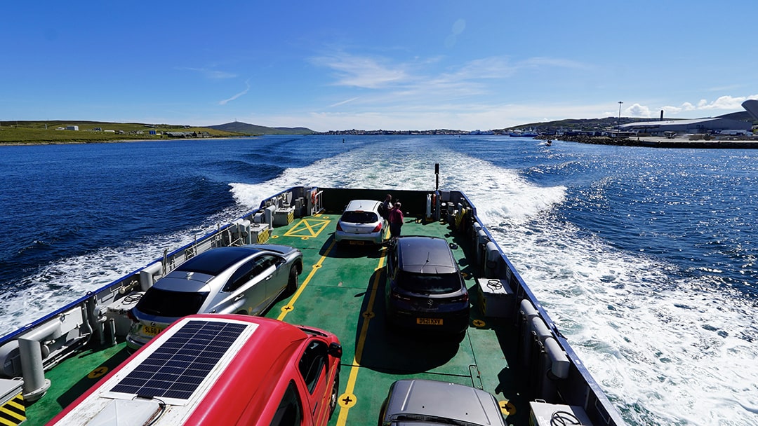
Once the correct ferry arrived, vehicles were loaded efficiently, and we set off, sailing out of Lerwick harbour, with the view of the town gradually fading behind us.
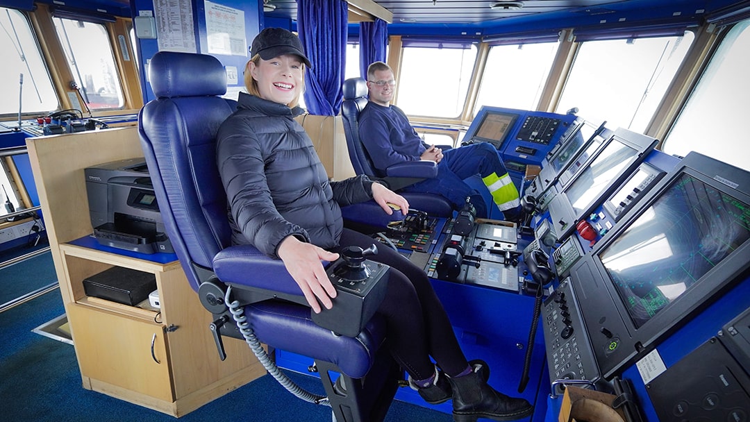
To my delight, I was invited to the bridge by some of the crew, giving me an elevated perspective of the journey. The crew, who hail from the Isle of Whalsay, were incredibly welcoming and shared stories about their island. Whalsay, one of Shetland’s more populated islands with around 1,000 residents, is home to the northernmost golf course in the UK, pointed out by the crew as we sailed past.
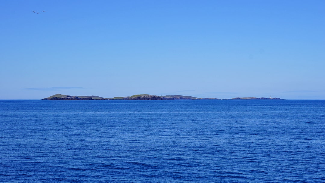
The scenery was wonderful and the journey flew by and it wasn’t long before the Out Skerries came into view. Located 13 miles east of Shetland’s mainland, the Out Skerries consist of three main islands and a few smaller ones.
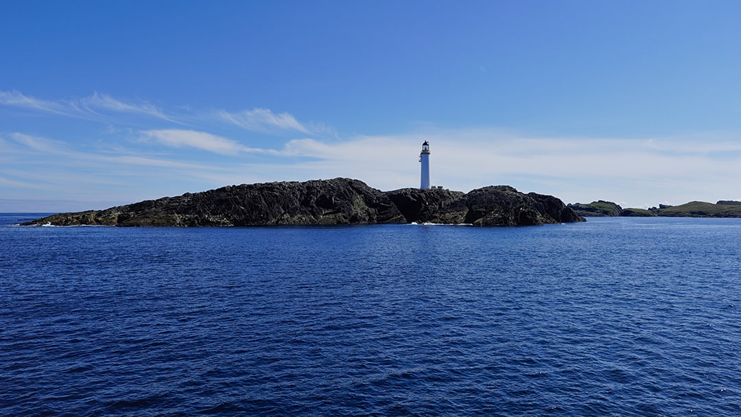
As we neared the islands, we passed Bound Skerry, Scotland’s easternmost point, marked by a magnificent Stevenson lighthouse. It’s always awe-inspiring to think of how these structures, built in such harsh environments, have stood the test of time.
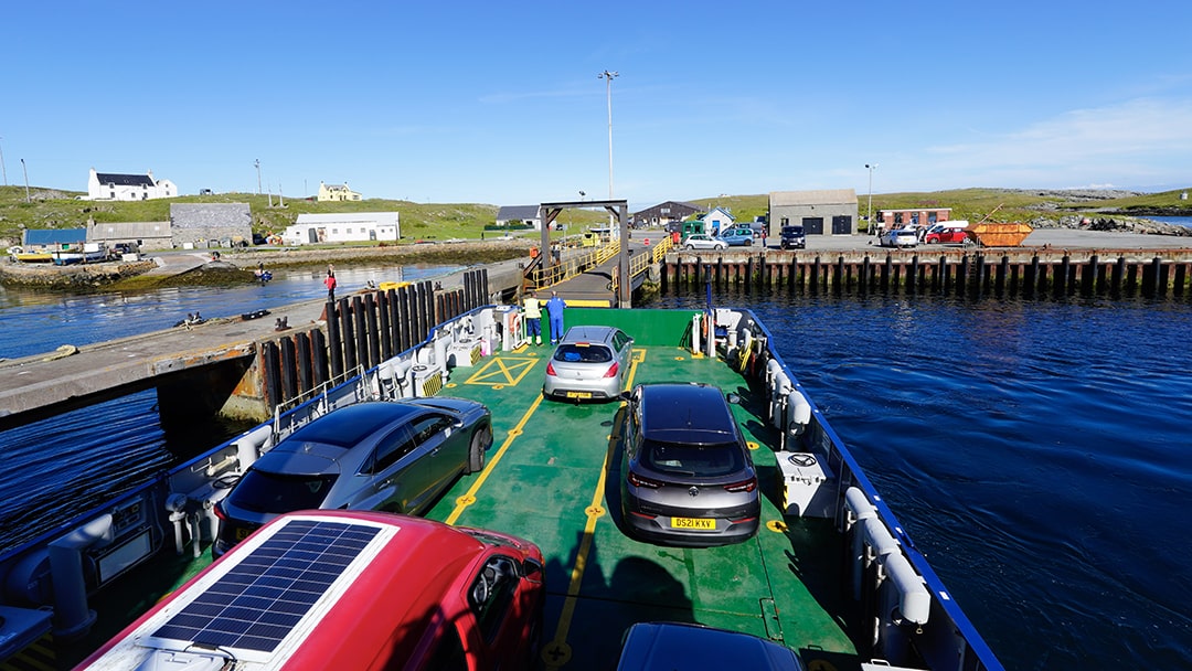
We then navigated between the islands, passing the uninhabited Isle of Grunay, which was once home to the lighthouse keepers and their families. Finally, we docked on Bruray, one of the two inhabited islands in the Out Skerries. After the vehicles were unloaded, the crew efficiently offloaded freight for the locals before setting off again.
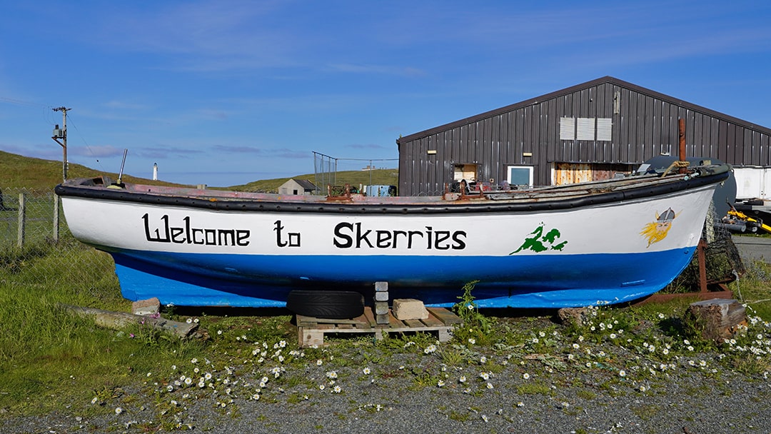
There was no ferry scheduled for the following day, so I’d have two days to explore these remote islands which are closer to Norway than Edinburgh!
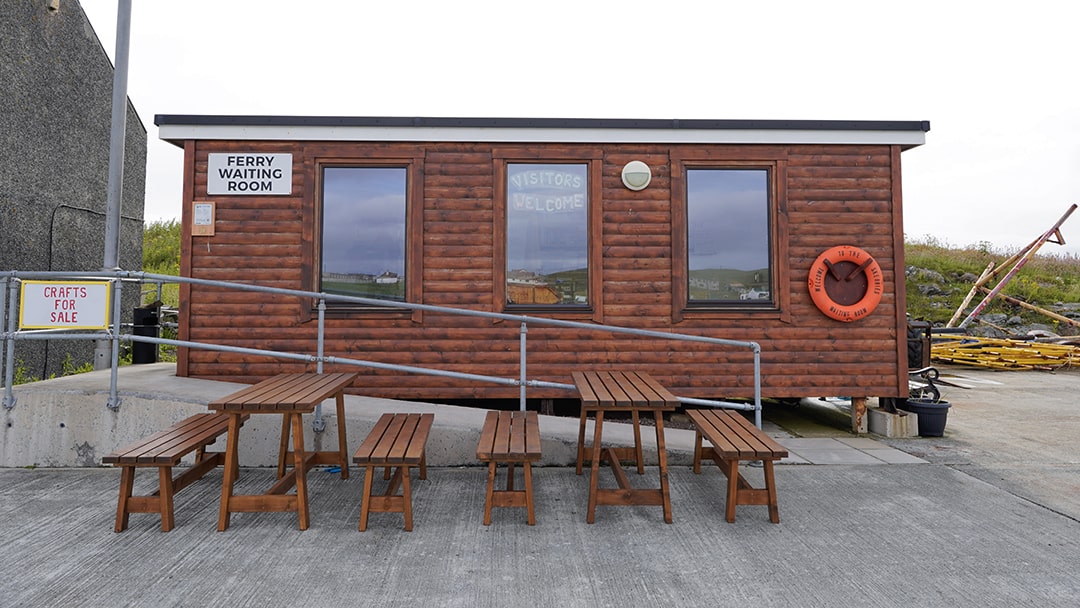
One of my favorite things about Shetland in summer is the abundance of daylight hours. Even though I arrived in the late afternoon, there were still plenty of hours of light left. At the ferry terminal, I picked up an island map from the new waiting room, which also has local crafts for sale, including beautiful knitted pieces made by islanders.
I set off on foot, passing houses and one of the village shops. It surprised me to see more homes than expected, considering the island’s population is just around 35, perhaps a reflection of the challenges of life here. I also walked by the now-closed school, which shut a few years ago due to a lack of pupils.
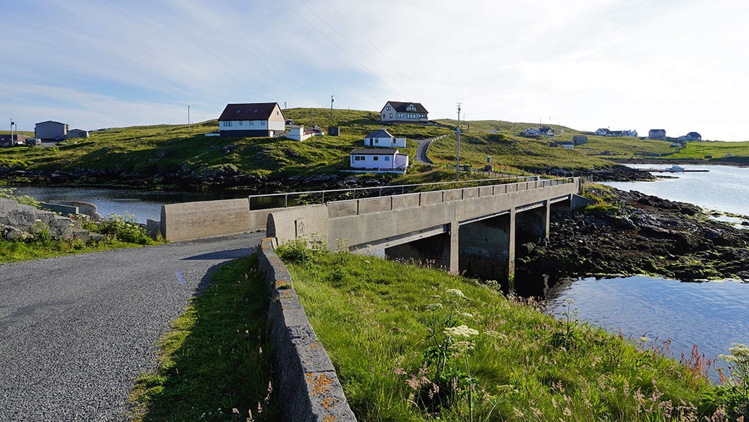
Following the map, I crossed the bridge to Housay, the other inhabited island, and headed to a spot known for otter sightings. Although Shetland is famous for its otters, they’ve eluded me so far. I waited silently for about 15 minutes, but no luck, just the soft hum of a fishing boat engine as an islander made the most of the calm weather.
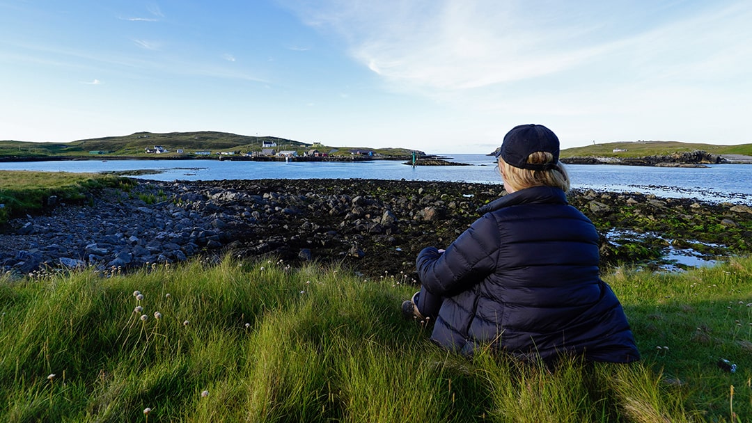
As I wandered further, seabirds were everywhere, each one more fascinating than the last. The Out Skerries is a popular with birdwatchers as it sometimes attracts migratory species blown off course by strong winds. The views stretching for miles were crystal clear with so many of Shetland’s other islands visible in the distance.
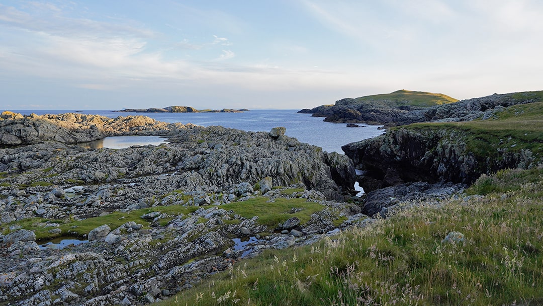
I stopped at a spot called Annie Elspeth’s Resting Place. During the Napoleonic Wars, Shetland men, renowned for their seamanship, often hid from press gangs in hills and sea caves. Women delivering food to these men would pause here, watching for approaching ships.
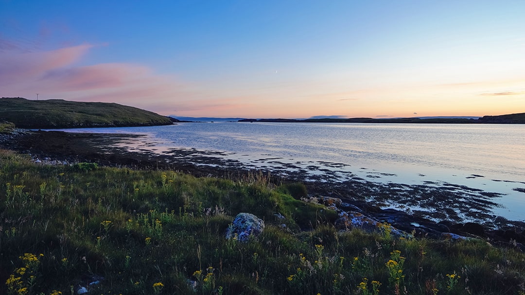
As the evening wore on, I was treated to one of the most magnificent sunsets I’ve ever seen. The calm weather made the fiery orange sky even more breathtaking. As darkness fell, I returned to my campervan parked on the pier, passing remnants of the old salmon farm. Once a vital employer on the island, it now stands as a reminder of changing times.
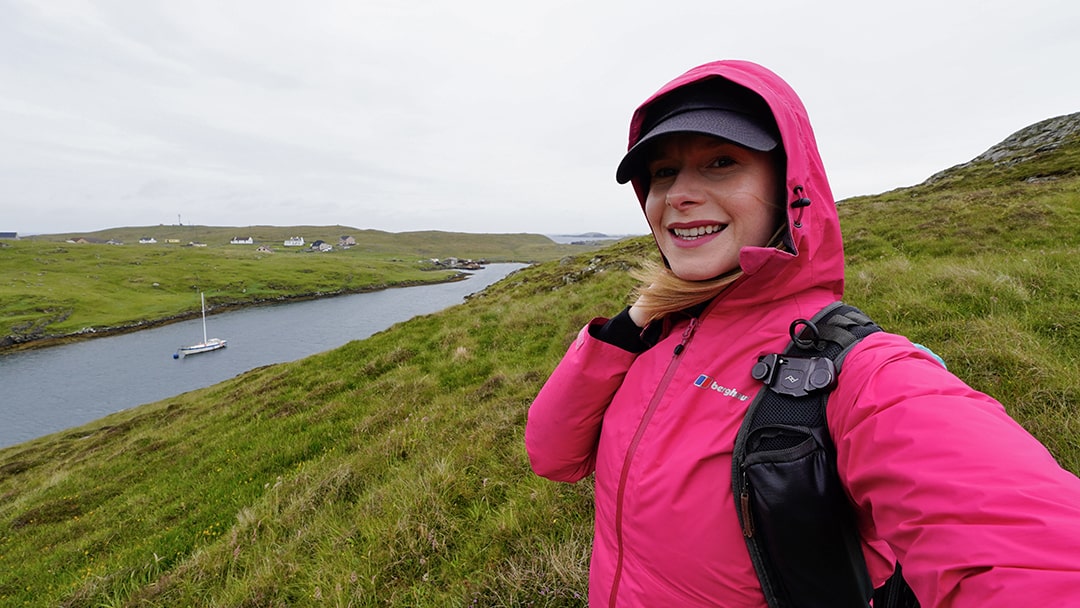
The next morning brought a dramatic change in the weather – wind and rain had replaced the calm, sunny conditions of the day before. However, it was interesting to experience the island in such contrasting states, as the wild weather offered a glimpse into the harsher realities of life on the Out Skerries.
I’d hoped to visit Bound Skerry, Scotland’s easternmost point, during my stay. With this in mind, I stopped by the local shop to see if anyone could take me there by boat. After a quick phone call, it was clear the weather wasn’t suitable for boating, a disappointment, but understandable. Looking back, I probably should have attempted the trip the day before when the sea was calmer.
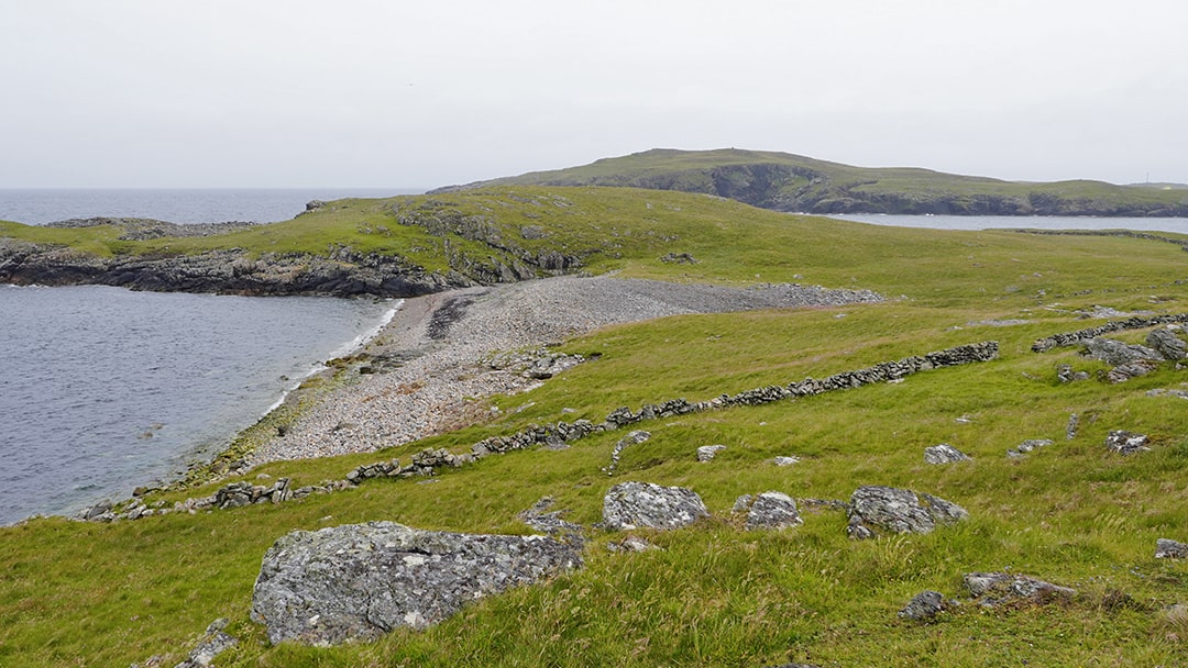
Instead, I decided to finish exploring Housay. The wind was fierce, sending waves crashing against the cliffs, a sobering reminder of the countless shipwrecks that have been lost in these treacherous waters over the centuries.
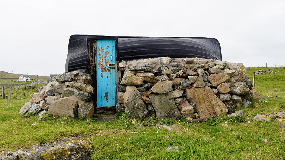
While walking, I stumbled upon an impressive pebble beach and a unique structure with a boat serving as its roof. I’ve seen a few of these in Shetland, and inside, I found an explanation of its history and restoration.
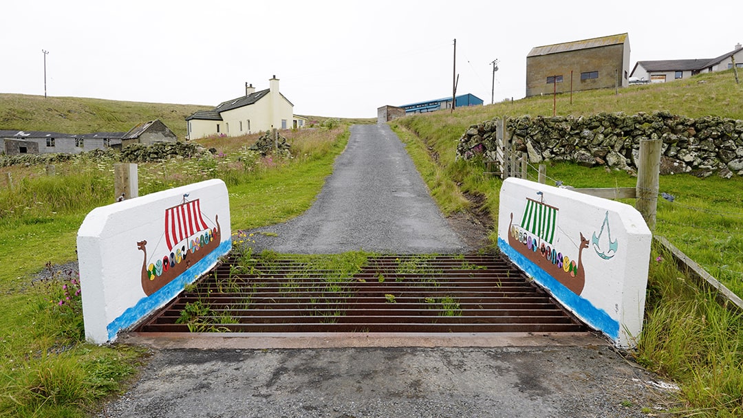
Crossing back to Bruray, I passed the island’s water collection system with its concrete catchment area, boreholes, and storage tanks. As I rounded a bend, the Bound Skerry Lighthouse came into view, standing tall against the rugged seascape.
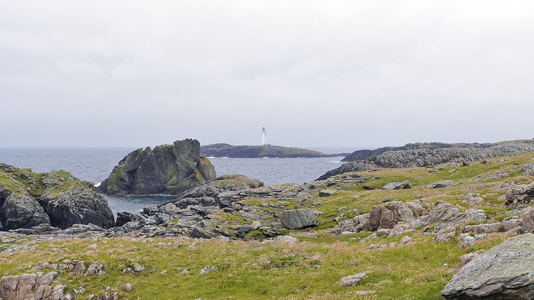
The strong winds made the walk challenging, but I pressed on, staying well back from the dramatic cliff edges. While I couldn’t reach the lighthouse itself, catching a glimpse of Scotland’s easternmost point from a distance was still an incredible experience.
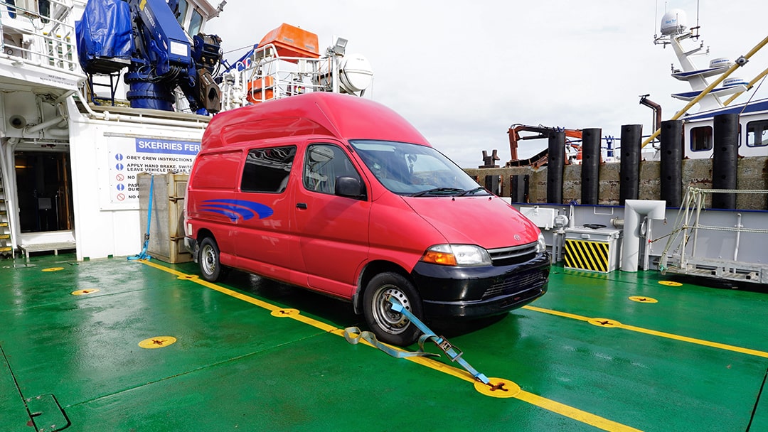
The following morning, the ferry arrived to take me back to Lerwick. While exploring the islands, I’d hardly seen anyone, but the harbour was suddenly bustling with people. Reversing my campervan onto the ferry, I noticed the crew tying it down, in preparation for the expected rough journey ahead.
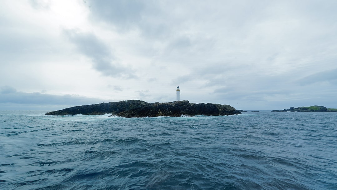
As we departed, I was invited back up to the bridge to take in the surrounding scenery. Watching the islands and open sea from this vantage point felt like the perfect way to say goodbye to the Out Skerries, a fitting end to an unforgettable visit.
 By Ruth Aisling
Ruth Aisling is a Scottish content creator with a passion for adventure, campervan travel, and the great outdoors. You’ll often find her showcasing unique off-the-beaten-path destinations and inspiring others to explore. Discover more at www.instagram.com/ruthaisling
Pin it!